Updated By: LatestGKGS Desk
Scientists using satellite images of US intelligence to recreate Ganga river basin
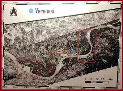
IIT Kanpur: Scientists using satellite images of US military intelligence to recreate Ganga river basin & study its past: Details, Highlights
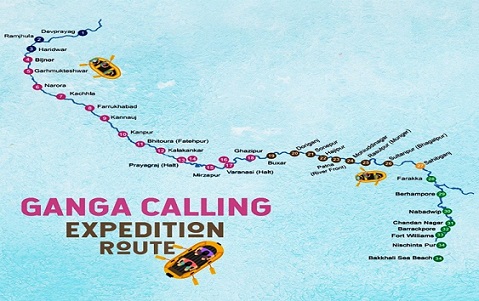
Indian scientists are using satellite images of 'United States Military Intelligence' to recreate Ganga river (Ganges) basin and to study its history.
Indian scientists will also aspire to find out the situation of the Ganges about 60 years ago using these declassified satellite photographs.
These pictures were taken to detect the enemy and to map the US intelligence agencies. Classified military satellite system (code name-CORONA) took photos of the Ganges Basin of the 1960's.
Union Ministry of Geology has entrusted IIT Kanpur to prepare the history of Ganga with the help of CORONA.
The main aim is to bring back the old form of Ganga river and to study its original situation of that times. changes made in the 1960s till now, changes in the use of land.
This initiative will also help in making policies about the proper use of land in the Ganga basin.

